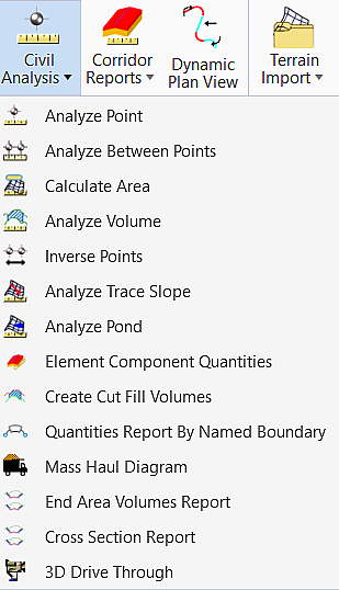
Civil Analysis
|
Select in the Toolbox |
Description |
|
Reports information about a user-specified point location in a TM (elevation, slope, contour, and, slope direction). |
|
|
Reports information between 2 point locations on a TM (elevation difference, length and, slope). |
|
|
Calculates volume between 2 TMs or a TM and plane (elevation). Capable of processing in an area (fence) or multiple areas and computing the volumes over a range of elevations. Cut and fill factors are also options. |
|
|
Computes and displays the distance and direction between each pair of specified points. |
|
|
Traces along a surface either following a user-specified slope value or the steepest slope. Can trace upstream or downstream. |
|
|
Analyzes terrain model for ponds (low point) located via a data point location on a TM (volume and area max depth). |
|
|
Reporting tool that reports single or multiple Civil Cells and or Corridors to create component quantity summary. |
|
| Create Cut Fill Volumes | Allows you to compare civil
model based on the Volume Option in the assigned Feature Definition to
calculate the cut and fill volumes.
|
|
Quantities Report by Named Boundary |
Allows to report volumes for specific station ranges and/or sheet clipping boundaries. |
|
Mass Haul Diagram |
Allows you a cumulative total of cut and fill volumes along a horizontal alignment. The diagram is a tool for measuring how much material is being added to and removed from the design site. Select a cross section named boundary and within that set specify at least two cross-section surfaces. The results are then automatically generated based on the cross sections and surfaces selected, and the Mass-Haul diagram is plotted to the right of the cross section set. |
| Allows you to calculate cut and fill using cross section named boundaries cut along a previously defined alignment. | |
|
Cross Section Report |
Allows you to report of the top, bottom, and intermediate layers of a roadway design along the cross section named boundaries. |
|
Produces a quick drive through visualization along an alignment. |
