Set Active Terrain Model
 Used to set the active terrain
model file.
Used to set the active terrain
model file.
You can access this tool from the following:
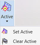
This tool sets the active terrain model file. Setting terrain to active causes the software to use the active terrain model as the default terrain model when using other design tools.
The active terrain model is displayed by default in profile and cross section models, and it is the default target for Corridor Modeler. Only one terrain can be active at any given time, including referenced terrains. However, multiple terrain models can be combined into a complex terrain model. The terrain model can be in the same design file as the corridor model, but more likely is in its own file and referenced.
Workflow