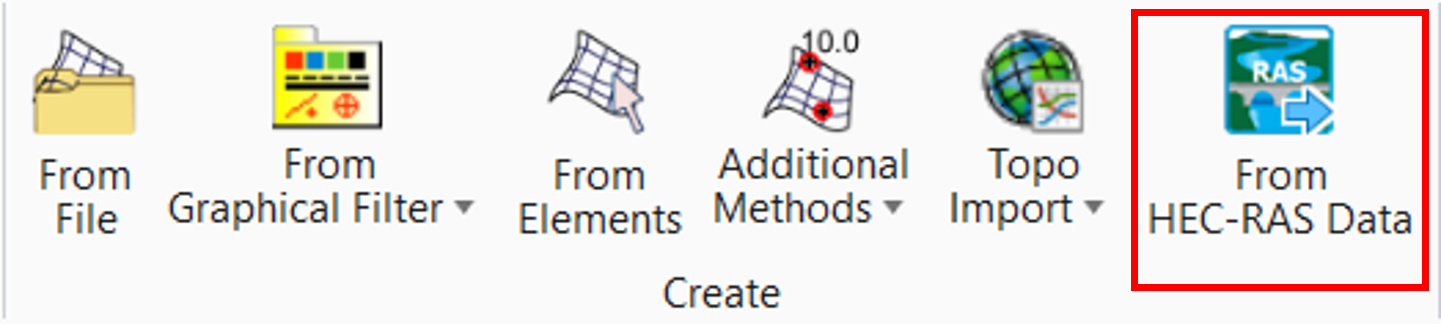
From HEC-RAS Data
From HEC-RAS Data command is used to read water surfaces from a file that is created by the HEC-RAS software.
You can access this command from:
Ribbon: Terrain > Create > From HEC-RAS Data
Workflow
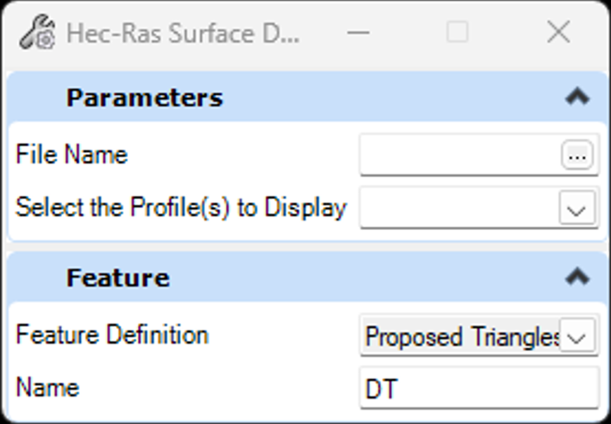
- Select the file that contains the HEC-RAS data (*.sdf file).
- The file is read, and the available water surface profiles are listed. If there is more than one, you can either select one profile, or all of them.
- A terrain model is created for each water surface profile. The name of each terrain model is the same as the name of the water surface profile.
Creating the HEC-RAS Data file
The file is created in the HEC-RAS software by using the File > Export GIS Data menu. You must enable the check-box option to include Water Surface Extents, because this data defines the coordinates of the water surface at each section:
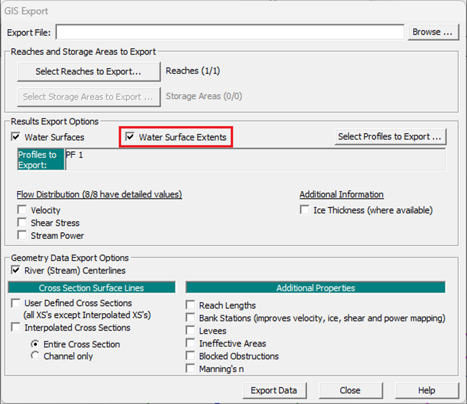
If the file does not include Water Surface Extents, then an error message will be displayed when it is imported.
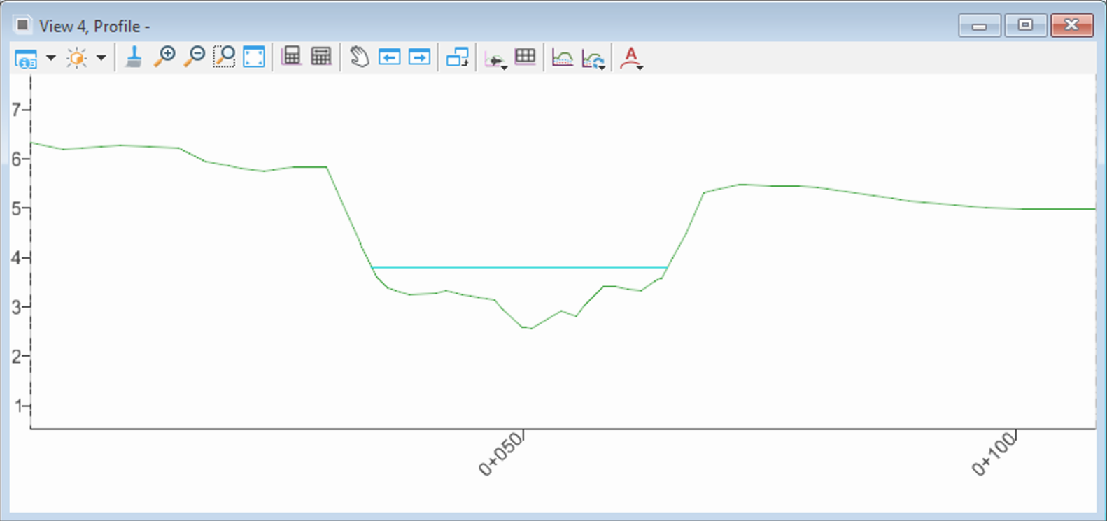
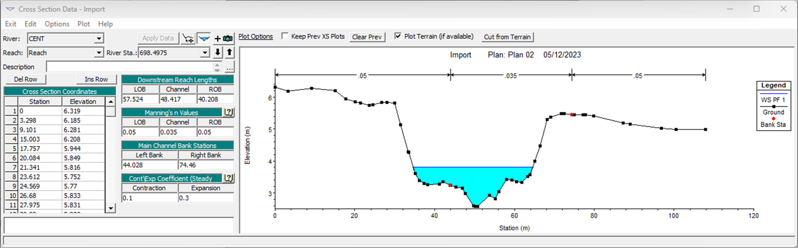
Example of a cross section in HEC-RAS, including the water surface elevation calculated using a steady-state analysis:
Example of the same location in OpenRoads Designer, showing the profile of the section line and a 3D Cut through the ground terrain and the imported terrain for the HEC-RAS water surface profile: