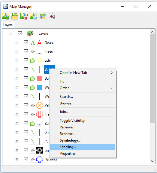
Labeling
Labeling adds text features to a map for descriptive purposes. The features can be simple constant text strings or text derived from a feature property. For example, a pipe feature could be labeled with its diameter. A property feature could be labeled with the owner name and property value. Labeling is dynamic and is only available at display time. The text is not added to the design file.
Labeling is accessed from the Map Manager by selecting Labeling from the right-click context menu of the selected feature.