XFM Overview
The geospatial XFM (XML based Feature Modeling) engine is a facility modeling tool for defining geospatial features (roads, water mains, electric networks, and others) using a simple forms based application, OpenCities Geospatial Administrator .
OpenCities Geospatial Administrator is used by application designers to define all aspects of a geospatial application. These aspects are:
- Features (including symbology, label, properties, annotation, and placement methods)
- Data sources associated with the application ( OpenCities Geospatial Administrator and file based)
- Topological relationships between features
- Domain lists
- User interface elements
- MicroStation workspace specific variables
- Source workspace folders for project specific documents such as cell libraries
- Macros
- VBAs
- Seed files.
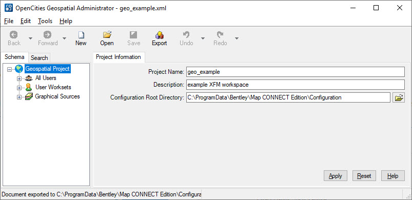
An XFM application is comprised of a project description and corresponding source workspace files. OpenCities Geospatial Administrator creates a project description stored in an XML file. The project definition must then subsequently be exported to a MicroStation workspace to make the XFM application viable.
This workspace of an XFM application consists of typical workspace files (UCF, resource files, seed files) as well as a series of XML based documents that describe the project itself. These additional XML files are read by the XFM engine and are used to configure a user's working environment.