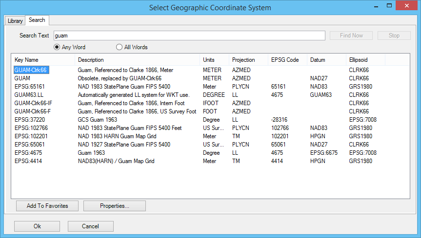
Select Geographic Coordinate System Dialog, Search Tab
Contains controls to quickly locate a geographic coordinate system (GCS) in the library by entering a string expected to be in the name, description, source, datum or ellipsoid name. If the string contains more than one word, results are ranked according to number of matching words. Search strings are not case sensitive, but matches containing the exact string entered are ranked higher.
- To sort the results, click a column heading. The results are sorted in ascending or descending order according to the contents of that column. Click the column heading again to sort in the opposite order.
- To rearrange the columns, click and drag a column heading to a new location.
- To select a GCS, double-click its name, or select it and click OK.
| Setting | Description |
|---|---|
| Search Text | Defines the search string. |
| Any Word | Specifies that results can contain any word in the string. |
| All Words | Specifies that results must contain all words in the string. |
| Find Now | Starts the search. |
| Stop | Stops the search. |
| Results | Displays all the geographic coordinate systems by key name and description, units, projection, EPSG codes, datum and ellipsoid names. Linear units (such as meters) are displayed because some of the GCS parameters are linear measures or Cartesian coordinates, such as False Easting and False Northing, and because projection mathematics need the units of Cartesian coordinates that serve as inputs to or outputs from the calculations. MicroStation PowerDraft’s unit system is capable of converting linear units in your model to those of any projected geographic coordinate system, so the units of the GCS need not match the units of your model. When two geographic coordinate systems differ only in units (for example, two Pennsylvania State Plane North entries, one in meters, the other in survey feet), either can be chosen and the same results are given. If the file will be used in Bentley Map V8 XM Edition or earlier, select the GCS with linear units matching the model. |
| Add To Favorites | Adds the selected GCS to the Favorites folder on the Library tab. |
| Properties | Displays properties of the selected GCS in the Geographic Coordinate System Properties dialog. |