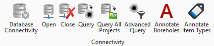
Connectivity
|
Setting |
Description |
|
Database Connectivity |
Opens the Database Connectivity and Mapping dialog. Refer to Interacting with the gINT Civil Tools Database. |
|
Open |
Opens the configured connection to an existing database. |
|
Close |
Closes the configured connection to an existing database. |
|
Query |
Loads all the entries from the connected database according to the Mapping of the connection created using the Database Connectivity function. The dialog will display all the entries available to allow a selection of specific entries to be loaded. |
|
Query All Projects |
Loads all the entries from all the projects of the connected database per the Mapping of the connection created using the Database Connectivity function. |
|
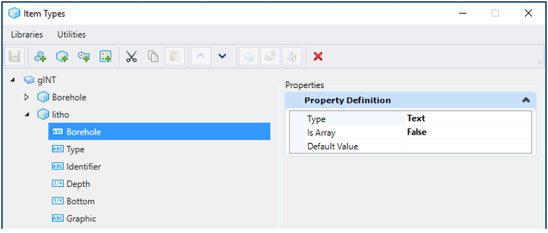
Item Types |
Displays all the item types the current model contains. Every item type is detailed with the information it contains. The lithology graphics in the following example carry a Borehole name, a Type, an Identifier, a Depth, a Bottom, and a Graphic. |
|
Advanced Query |
Loads specific entries from the database using filters. You can create filters using the tables, columns and values of the connected database. This way, you can query only the boreholes that start at a specific elevation. A query can be composed of multiple filters using multiple properties. It can also be saved or used as an .xml file. |
|
Displays the Annotate Boreholes dialog, which allows you to select a name for the annotation and select the properties to apply to the annotation. |
|
|
Displays the Annotate Item Types dialog, which allows you to select the item type to be annotated and the property to apply to the annotation. |