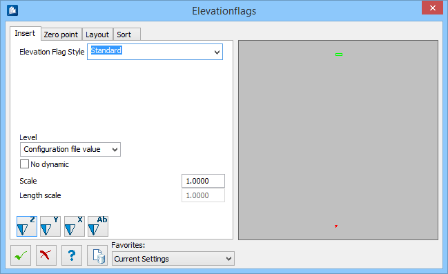
| Elevation Flag Style
|
Sets the style used for displaying the elevation.
|
| Level
|
The elevation is inserted on the selected
level.
|
| No Dynamic
|
When checked, the dynamic of the flag is switched
off after insertion. This is meant for application in 2D-mode, to avoid moving
a view that forces an update of the displayed values.
|
| Scale
|
Indicates the scale used for displaying the inserted
elevation symbol in the drawing.
|
| Length scale
|
The length scaling for the distance value; it is also
possible to attach elevations in scaled details.
|

|
The vertical distance in Z-direction is indicated in
the elevation.
|

|
The horizontal distance in Y-direction is indicated
in the elevation.
|

|
The horizontal distance in X-direction is indicated
in the elevation.
|

|
A symbol is created within a group, which will be
output as elevation at later detailing.
|