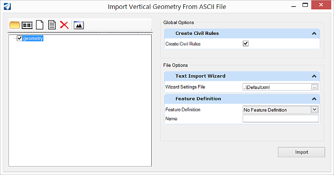
Import Vertical Geometry From ASCII File
 Imports vertical geometry element
from an ASCII file via a text wizard.
Imports vertical geometry element
from an ASCII file via a text wizard.
You can access this tool from the following:
Cogo Points
Each line is processed as one cogo point. If the filter does not specify the point name, a name is generated in the same manner as the Add Cogo Point command. If station-offset data is provided instead of easting-northing-elevation data, an active horizontal alignment must be present. If a point's station-offset data does not fall within the horizontal station range, the point will not be imported. Each cogo point is then added to the active cogo buffer and after all points have been added, the InRoads Explorer is updated.
Data Example - Point Name, Northing, Easting, Elevation
Cogo1 417289.44 194301.93 0.00
Cogo2 417233.32 194384.69 0.00
Cogo3 417179.75 194468.90 0.00
Cogo4 417186.60 194566.65 0.00
Cogo5 417211.60 194663.48 0.00
Cogo6 417236.60 194760.30 0.00
Cogo7 417255.53 194857.96 0.00
Vertical Alignments
Each line represents a vertical PVI except the last line, which represents the last point of the alignment. Each PVI is stored into an array as it is processed. After all data has been loaded, each PVI is inserted into the newly created alignment whose name, description, and style where specified through the Geometry Options dialog. The alignment is then inserted into the active horizontal alignment in the InRoads explorer and made active.
Data Example - Station, Elevation, Radius
69 9.93
72 18.14 50.00
43 8.33 20.00
49 16.54 50.00
14 10.38
Vertical Alignment Wizard
Use the Vertical Alignment Text Import Wizard to read fully defined data and partially defined data (the software should compute the missing data).
Fully Defined Data
Create a text import wizard to read the data that represents a vertical alignment. A wizard can be easily created to read the Station, Elevation and optional Length of Curve.
Partially Defined Data
Create a text import wizard to read the data that represents a vertical alignment. The available data is Station, Elevation, Length of Curve and Ahead Grade. Indicate a station and/or elevation is unknown using a ? to indicate the software needs to compute the unknown values.
Create the first filter to define the lines that define the Station, Elevation and option Length of Curve.
Set Lines within Range Start Import at Line 1 and End Import at Line EOF. Next.
Set Lines that Start With and specify the information and Delimited - Characters separate each field. Next.
Set Tab, Space, Ignore Consecutive Delimiters. Next.
Delimited
Column Data Format Curve Length.
The display indicates problems that must be dealt with by the Text Import Wizard's Vertical Alignment parser.
Data is okay until the ?. This an unknown and not interpreted as a zero.
Length of Curve data handles non data (first line and last lines) and the alpha characters that precede the numeric data.
Create the second filter to define the grade.
Set Lines that Include and specify the information and Delimited - Characters separate each field. Next.
Select the column, right-click and select a column heading.
Note: The unknown functionality only works for Vertical Alignments.
Note: The functionality to deal with alpha numeric characters when numeric characters are required only works for Vertical Alignments.