The Street Levels setting specifies the feature layer name used by the
street name on the map. The street names identified on the map will later on be
displayed in a drop down box when adding new addresses on the map.
Setup the Street Name Level
- From the Strand dialog box,
click Street Levels.
- The Street Name Levels
dialog box opens.
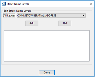
- Select levels and click Add
to add the selected levels to the list.
- Select a level from the list
and click Del to remove it from the list.
- Click Done when completed.