Boundary
To differentiate between county and city boundaries, survey markers and drawing frames, select the boundary function.
Place Boundary
- Select from the Command Manager <PROJECT NAME >_Boundary (Place).
- Begin with a datapoint and outline the boundary until you get the appropriately shaped area.
- You also can add to an existing boundary. Click the existing boundary and start placing datapoints until you have the additional boundary shape.
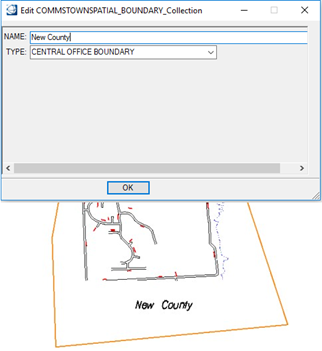
- Type the boundary Name.
- Select the boundary Type to place on the map.
- Reset to end boundary design.
- Click OK to place the boundary name.
- Place a data point to place the name on the map.
- Reset to exit the boundary function.