Topology Operations
| Topology operation tools are only available with the OpenCities Map Advanced and OpenCities Map Ultimate editions of this product. |
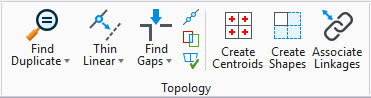
You can find the Topology ribbon group in the Map Topology workflow; it provides tools to cleanup and create valid topology from lines, points, and boundaries. In addition, the Edit/Modify ribbon group contains Merge Polygons and Split Polygons which assist in topology creation.

The five basic elements that comprise topology are points, lines, centroids, boundaries, and areas.
A point represents a point feature (e.g., manhole, fire hydrant, light pole) in an OpenCities Map project or a design file. A point can have database linkages associated with it and can be created from any of the following MicroStation elements:
A line represents a linear feature (e.g., road, curb, powerline) in an OpenCities Map project or a design file. A line can have database linkages associated with it and can created from any of the following MicroStation elements:
A centroid is a point feature within an area. Centroids distinguish area features from void space (e.g., the hole of a donut). A centroid can have database linkages associated with it.
A boundary is a line that serves as an edge of an area, such as the boundary of a land parcel or the edge of a lake. A boundary can have database linkages associated with it.
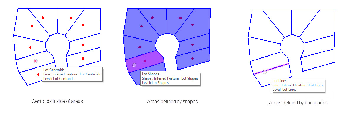
An Area is a closed region formed by one or more boundaries containing one centroid. An area can have a database linkage and can be created from a MicroStation shape element. Shape elements do not require centroids, because they can serve as a single point of reference for a database linkage.