Datasets
FME supports the following dataset types:
| Type | Description |
|---|---|
| Database | A database dataset refers to data stored in a database such as Microsoft SQL Server. |
| File | A single file where the complete dataset is stored within the file. For example, an AutoCAD DXF file. Features within file-based datasets can be remapped upon import. |
| Folder | A set of files in a single folder. For example, a folder of Esri Shapefiles. In this case, the dataset is the folder containing the data. |
| URL | A web-based data source such as WFS. |
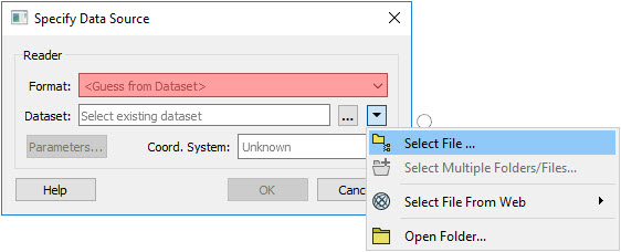
Dataset types are selected from the Specify Data Source dialog when using FME to import geospatial data types.
File, folder and web dataset types are selected using the drop-down arrow.
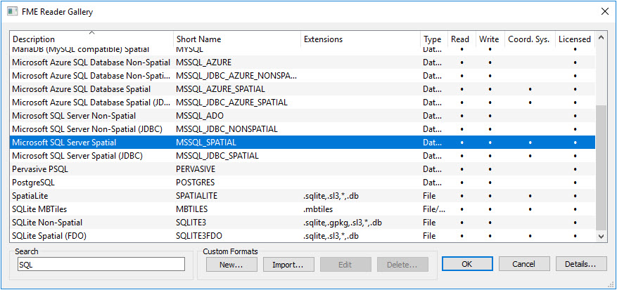
Datasets stored in a database are selected from the FME Reader Gallery which is accessed from the Format option. The drop-down menu for the Format option will show the recently used formats. To select a different format or database, choose More Formats to open the FME Reader Gallery.
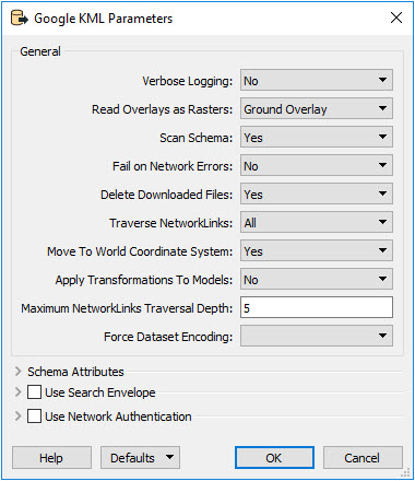
Since the storage and structure of dataset types vary, the options presented in the Parameters dialog will differ depending upon the dataset format.