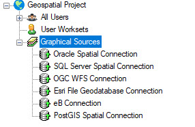
When a Graphical Source is defined for a project, the data
source will be listed in the Map Connections dialog under Connection Tools and
Connections. Using the graphical source will ensure that the correct database
is opened and that changes are posted correctly.