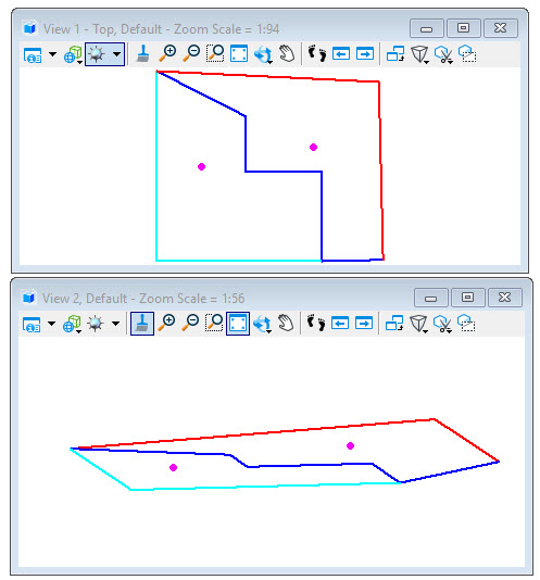
The following illustrates boundary elements on various
elevations.
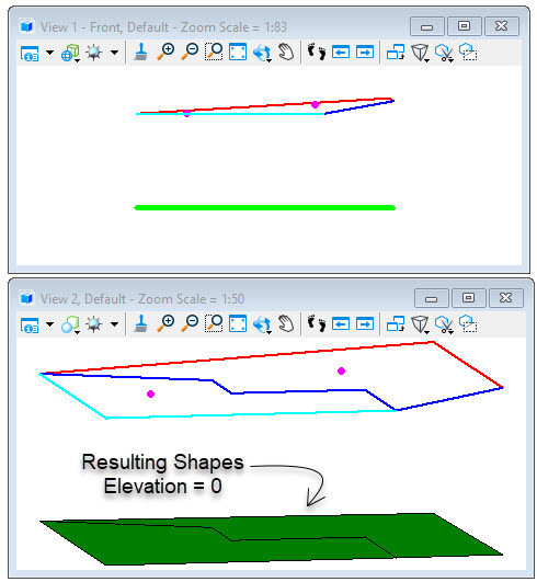
With the Consider Z option disabled, flattened shapes are
created at elevation zero.
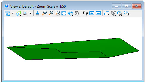
With the Consider Z option enabled, shapes are created on
the appropriate planes as determined by the source elements.