Working with Spatial Databases
|
Full spatial database support is only available with the OpenCities Map Advanced and OpenCities Map Ultimate editions. OpenCities Map PowerView allows read-only support for spatial databases. This includes import and query capabilities. |
This section describes the basic concepts of working with a spatial database such as Oracle or SQL Server. In general, once the connection has been made to the database, the operation is the same regardless of database.
The currently supported spatial databases are:
| Oracle Spatial | Read and Write |
| SQL Server Spatial | Read and Write |
| Esri File Geodatabase | Read and Write |
| PostGIS Spatial | Read and Write |
| WFS | Read only |
| ArcGIS Spatial | Read and Write |
Where there are differences in operation among the supported spatial databases, a separate entry will explain how the operation works with each one.
When a connection is made to a spatial database, all queries are handled by the database. That means the software can handle very large queries and very large result sets. If a Search is made on the spatial database, the result set is displayed in the Data Browser. As more rows are requested by paging down in the Data Browser, then those rows are sent by the database server.
When operations such as sorting and filtering are performed on the result set in the Data Browser, those operations are actually performed by the database and the results returned to the Data Browser.
This direct connection with the database server lets OpenCities Map handle a very large number of rows quickly and efficiently.
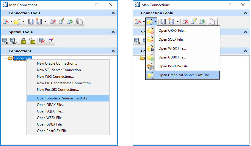
A named spatial data source can be opened from:
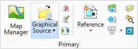
- The Graphical Source button in the Primary ribbon group located in the Home tab.
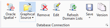
- The Graphical Source button in the Database Connection ribbon group located in the Interoperability tab.
- Two locations in the Map Connections dialog as shown:
The following key-ins interact with the Map Connections dialog: