Coordinate System Support
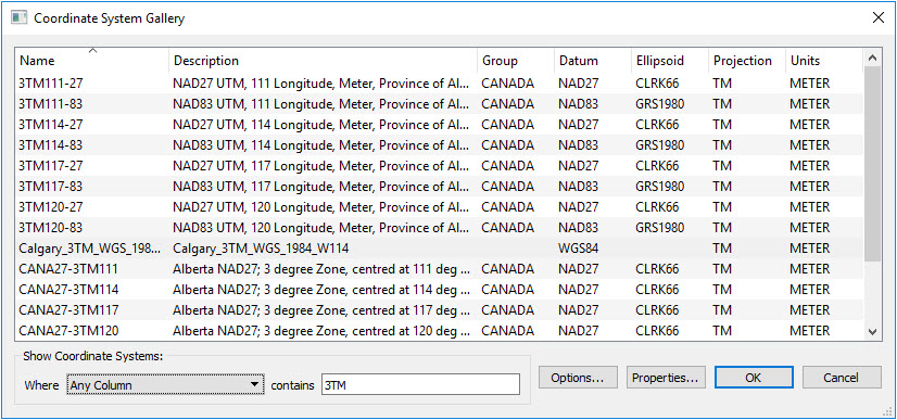
FME is able to handle many different coordinate systems. In most cases, the coordinate system is detected from the source data. For data without a defined coordinate system, or to correct the source coordinate system, you can select from the Coordinate System Gallery. The selected coordinate system will override the coordinate system read from the source data.