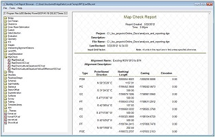
Map Check Report
 Used to generate a report containing precision information based on plotted data.
You can access this tool from the following:
The Map Check generates a report containing precision information based on plotted data rather than the internal precision stored by the software. When you plot a design, the precision of lengths and directions is limited to plotted values rather than the full values maintained by the software. These plotted values are used during construction, which can introduce closure errors not present in the original design. This tool allows you to determine closure errors based on plotted precision.
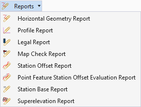
1. Select the Map Check Report tool from the Analysis and Reporting tool group.
2. Follow the heads-up prompts:
Select the first element
Note a closed complex civil horizontal geometry element can be used.
Locate Next Element
Reset to Complete Continue selecting elements to define a closed shape. Once all elements are selected, click RESET to move to the next prompt.
3. After the last prompt is completed, the Civil Report browser opens with the generated report. Note your report may look different depending on what report is selected as the default.