Azimuthal Projections
A good way to understand this concept is to forget about the idea of a map and focus on the projection. Imagine the earth as a wire mesh globe, with a huge flash bulb positioned at the center.
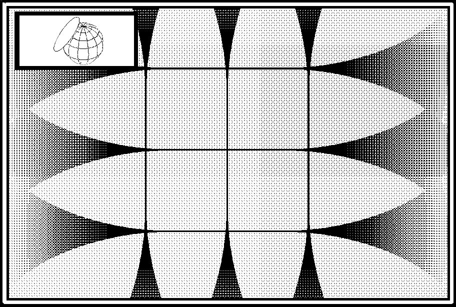
To obtain an image of the round Earth on a flat piece of photographic film, we could simply hold the film up to the surface of the globe and expose the film by flashing the light source. If we could actually perform such a process, the resulting photograph would appear. As you can see, the lines defining the features of the globe are clean and crisp where the film was very close to the surface of the globe. Where the film was a significant distance from the surface of the globe, the lines on our photograph are fuzzy. As the distance between the photographic film and the surface of the globe increases, the fuzziness increases until we reach a point at which the lines completely disappear.
The process of projecting spherical geographic data on to a flat map is the same. The technique we have just visualized is essentially what happens, mathematically, when an Azimuthal projection is produced. In such a projection, the area around the origin of the projection is distortion free. The distortion introduced by the projection increases as one proceeds away from the origin.


