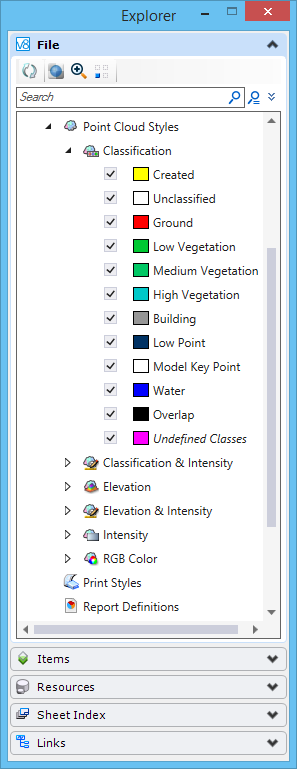
Point Cloud Styles
Point clouds can be displayed or presented with any number of user defined styles. In this way, a point cloud could be displayed with a number of different modes at the same time. Classification could be displayed at the same time as intensity to better visualize features such as pavement markings. In addition, individual classifications can be toggled off and on for each display style. The classifications for any style can be adjusted opening the tree control for the style.
You can create and maintain the styles in the Explorer dialog File tab or the Properties dialog. These styles can be created and maintained in a read-only DGN file as well.
Point Cloud Styles list
The list of available styles is displayed in the Explorer dialog File tab as well as in the Point Cloud Styles section of the View Attributes dialog.
- New - Creates a new style.
- Import - Opens the Open dialog from which you can select a file to import the styles.
- Details - (Available only from the Explorer dialog File tab) Opens the Details dialog and displays the point cloud style properties.
- Properties - (Available only from the Explorer dialog File tab) Opens the Properties dialog and displays the point cloud style properties.
- Rename - Allows you to rename the style.
- Copy - Creates a copy of the style.
- Delete - Deletes the style.
- Apply to Selected Views - Applies the style to the selected view.
- Apply to Open Views - Applies the style to all open views.
- Details - (Available only from the Explorer dialog File tab) Opens the Details dialog and displays the style properties.
- Properties - (Available only from the Explorer dialog File tab) Opens the Properties dialog and displays the style properties.
Style Options
Style Properties
When a point cloud style is selected, following properties for that style will be displayed in the Properties dialog. Various options can be set in the Properties dialog. Multiple display modes can be enabled for each style.
- RGB - Toggles on the RGB display of the point cloud if RGB values are available. If RGB values are not available the point cloud will be shown in black.
- Intensity - Toggles the display of intensity values in the point cloud. If intensity values are not available the point cloud will be shown in black.
- Active - Toggles the mode On or Off
- Colorization - A selection of color modes (Hue, Soft Hue, Greyscale, Land Topo Smooth, Blue/Red
- Offset - A value between 0 and 100 used to shift the intensity value (equivalent to brightness when modifying a greyscale representation)
- Range - A value between 0 and 100 used to stretch the dynamic of the intensity value (equivalent to contrast when modifying a greyscale representation)
- Elevation - Toggles the display of the point cloud based on elevation along a specified direction.
- Active - Toggles the mode On or Off
- Depth - The interval at which to change the color
- Start - The elevation at which to start the colorization
- Colorization - A selection of color modes (Hue, Soft Hue, Greyscale, Land Topo Smooth, Land Topo stepped, Sea-Mountain Topo, Blue/Red, Striped
- Axis - The axis on which the elevations are calculated, X,Y,Z or ACS
- Clamped - Defines the behavior out of the range defined by Start and Depth parameters. Value are either truncated (Clamped = Yes) or the ramp is repeated (Clamped = No)
- Classification - Toggles the display of the point cloud based on classification.