Van Der Grinten
Introduced and patented in 1904 by A. J. Van Der Grinten, it is only used for world maps and was the standard projection for National Geographic maps of the world until 1988.
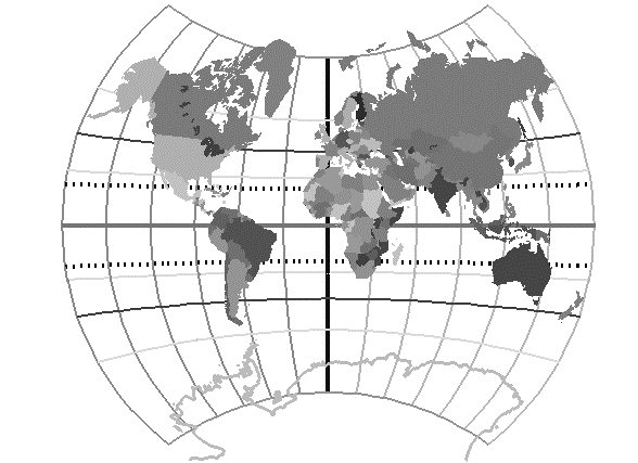
Many school geography textbooks had world maps in them using it. The Van Der Grinten is neither equal-area nor conformal. The central meridian and the Equator are straight lines, all other meridians and parallels are arcs of circles. Polar regions are severely distorted and most maps in this projection do not show the poles.