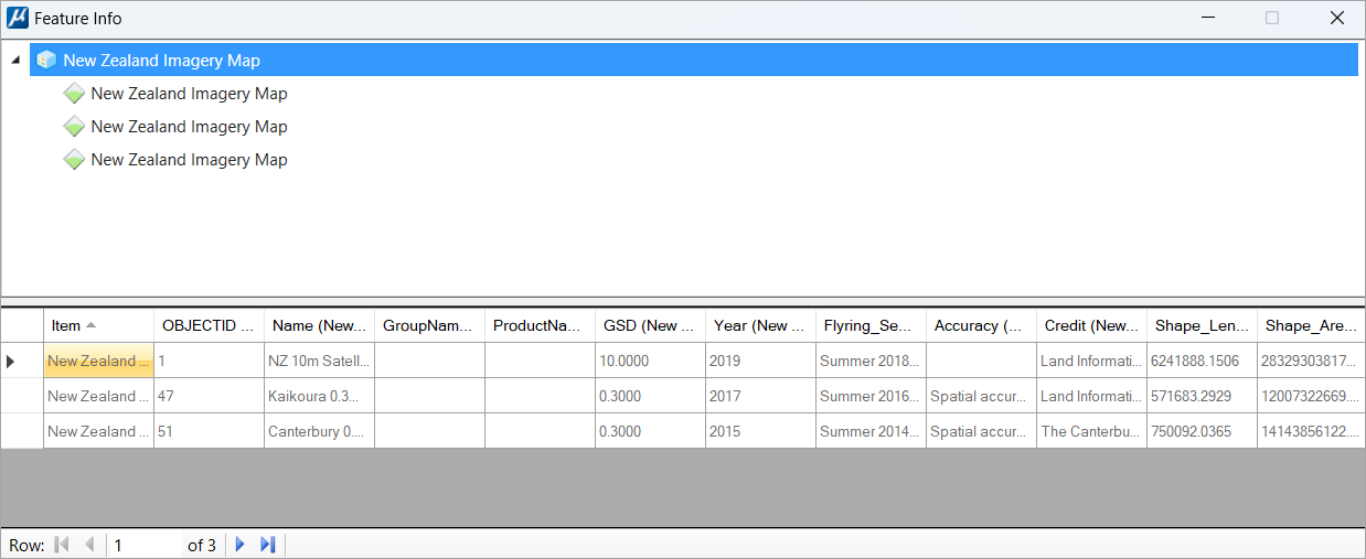
Used to review the feature
information at the location from ArcGIS Map Services that represents the
queryable raster available.
You can access this dialog from the following:
Note: The Feature Info
tool is available only for ArcGIS Map Services (.xamis file format).