Geospatial Context Workflow
Tabs in the Geospatial Context workflow appear when you select Geospatial Context from the Quick Access Toolbar. Tabs, ribbon groups, and tools are arranged by workflow from left to right.
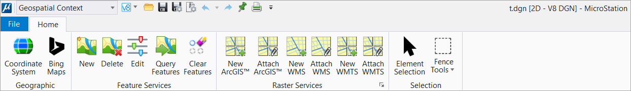
You can now display contextual data to facilitate the
design of an infrastructure using the tools available in this workflow You can
display data from different standard geospatial web services allowing to see
their design in the context of existing assets. The available sources include:
- Microsoft Bing Maps
- Feature Services
- Esri ArcGIS ™ REST Map and Image Services
- Web Map Services (WMS) from the Open Geospatial Consortium (OGC)
- Web Map Tile Services (WMTS) from the Open Geospatial Consortium (OGC)