Oblique Mercator Projection and Variations
The Oblique Mercator is also known as the Hotine Oblique Mercator. This is a conformal projection. It is suitable for areas which stretch along a line that is oblique to meridians. Most commonly seen on grid maps of the Alaska panhandle (Zone 1) and single maps of countries encompassing areas as far apart as Switzerland, Madagascar, and Borneo.
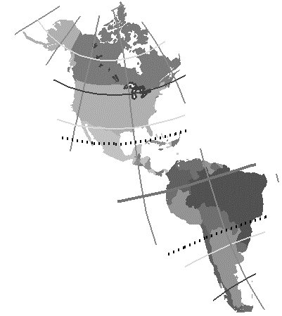
Most of the meridians and all of the parallels are complex curves. However, the two meridians which are 180 degrees apart are straight lines.
MicroStation supports many variations:
- Oblique Mercator 1 Point — Rectified variation of the Hotine Oblique Mercator projection defined using a single point and an azimuth. It is one of the most commonly used Oblique Mercator projections.
- Oblique Mercator 2 Points — Rectified variation of the Hotine Oblique Mercator Projection defined using two points.
- Oblique Mercator 1 Point (Unrectified) — Unrectified variation of the Hotine Oblique Mercator projection defined using a single point and an azimuth.
- Oblique Mercator 2 Points (Unrectified) — Unrectified variation of the Hotine Oblique Mercator projection defined using two points.
- Rectified Skew Orthomorphic Projection — A group of variations of Oblique Mercator. The rectification technique is the one commonly used in places other than Alaska. The three variations are: Origin at Center, Origin at Intersection, and Azimuth at Origin.