Bonne Conic
Generally attributed to R. Bonne, the 18th century French geographer used this projection a great deal. Forms of it, however, have been in use for over 400 years. It was most often found in atlas maps of the continents. It is an equal area projection, with the central meridian forming a straight line while all others form complex curves. The parallels are concentric circular arcs.
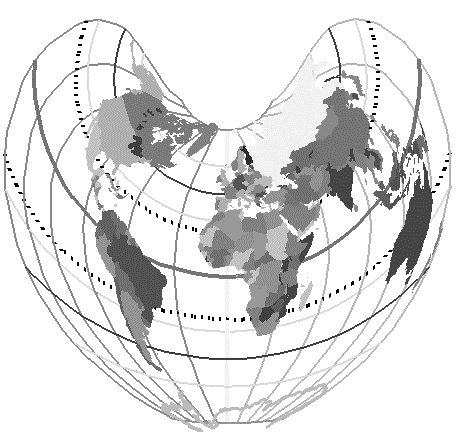
In common use until the early part of this century, it is now less favored by atlas map makers, but still used in some European nations.
There are two limiting cases. If the origin latitude is either pole, this produces the Werner projection. Some special code is required to prevent divide by zero.
If the origin latitude is zero, the mathematics for this projection break down and the projection approaches the Sinusoidal.