Applying a Geographic Coordinate System (GCS) to Multiple Design Files
The following Key-ins can be used to assign a coordinate system element to many design files in one operation:
|
Key-in |
Description |
|---|---|
|
GEOCOORDINATE ASSIGN GCSName |
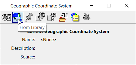
Assigns the coordinate system GCSName from the library (or libraries, if they are multiple) and queries if a geographic coordinate system already exists, or to make the storage units match the geographic coordinate system Units. This is the equivalent of selecting the Assign geographic coordinate system from Library on the Geographic Coordinate System dialog. Use this key-in to invoke the standard geographic coordinate system attach dialog. |
|
GEOCOORDINATE ASSIGN NOQUERY GCSName |
Assigns the specified geographic coordinate system but does not query the user. This command does not reproject and does not change storage units. Use this key-in to assign the geographic coordinate system and the storage units are correct. This is typically what used if no geographic coordinate system was previously assigned to the file. |
|
GEOCOORDINATE ASSIGN REPROJECT GCSName |
Assigns the specified geographic coordinate system but does not query the user. It does reproject. To reproject, it is not possible to change units at the same time, so there is no units query. Use this to reproject a file from one geographic coordinate system to another. The file must already have a defined geographic coordinate system |
|
GEOCOORDINATE ASSIGN MATCHUNITS GCSName |
Assigns the specified geographic coordinate system but does not query the user. It does not reproject and does match the storage units to those of the geographic coordinate system. Use this key-in to assign the geographic coordinate system to a file in which the units should be changed to match the geographic coordinate system. This is used if the units in which the file was drawn are incorrect. A common case occurs in State Plane mapping. Many users select the feet units from MicroStation. However, the MicroStation feet are international feet and the state plane coordinate systems are defined in US Survey feet, a small but significant change over long distances. This key-in will change the design file units to be correct for the specified coordinate system. |

