Lambert Conformal Conic
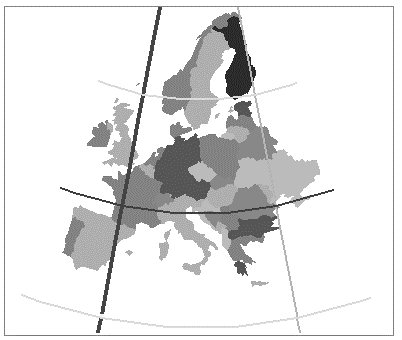
Another projection first developed in 1772 by Lambert. It is sometimes called the Conic Orthomorphic projection. Like the Albers Equal-Area Conic, the Lambert is well suited for areas with a mainly east-west expanse. It is the official projection for the SPCS for States with this geography. (The Transverse Mercator has the same status for States which run mainly North/South.) A number of aeronautical charts use the Lambert. The parallels are arcs of concentric circles, which become more closely spaced as they move toward the center of the map. The meridians run at right angles to the parallels. With two standard parallels, the area distortion is minimal between and near the standard parallels.
MicroStation supports the following Lambert Conformal Conic variations:
- Lambert Conformal Conic — This is the usual variation. It requires two standard parallels to be specified.
- Lambert Tangential — Uses a single standard parallel and a scale reduction. Provided for legacy purposes. Use the Lambert Conformal Conic 1 Standard Latitude instead.
- Lambert Conformal Conic 1 Standard Latitude — This variation is commonly used outside of North America and is mathematically identical to Lambert Tangential. This projection is virtually identical to the Lambert Conformal Conic except that the two standard parallels are calculated as result of the specified scale reduction factor. A scale reduction factor of 1.0 produces two identical standard parallels.
- Lambert Conformal Conic (Belgium Variation) — Identical to Lambert Conformal Conic, except the mathematics are specific to the Belgian system.
- Lambert Wisconsin County — A variation of Lambert Conformal Conic and Transverse Mercator that allows you to specify two additional parameters, which are "Separation from Geoid" and "Elevation above Geoid." The intent of this projection variation was to perform accurate distance calculations within limited county based zones in Wisconsin. The elevation and separation parameters allow using a variation of the GRS80 ellipsoid that more closely fits the Earth surface within the county area. This method is provided for legacy purposes as new Wisconsin county geographic coordinate systems that used this method have been redefined using a plain Lambert Conformal Conic or Transverse Mercator but with specific scale reduction factor for each county.
- Lambert Minnesota County — A variation of the Lambert Conformal Conic (and Transverse Mercator), similar in intention to the Wisconsin variation but using a single additional parameter, "Elevation above Geoid." The actual elevation of the zone central point is provided to allow modifying the ellipsoid size in the specific zone.
- Lambert Conformal Conic with Affine Processor — Similar to Lambert Conformal Conic but also allows an affine transform to take place after the projection has taken place.