Bing Maps Background Map
MicroStation now simplifies use of Bing Map data for CONNECTED users (that is, users that have signed in from the CONNECTION Client). For such users, there is a new, simplified method for displaying Bing Maps imagery. In addition, the traditional Bing Maps raster attachments no longer require that the user obtain a Microsoft Bing authentication key (specified using the MS_RASTER_BINGMAP_KEY configuration variable).
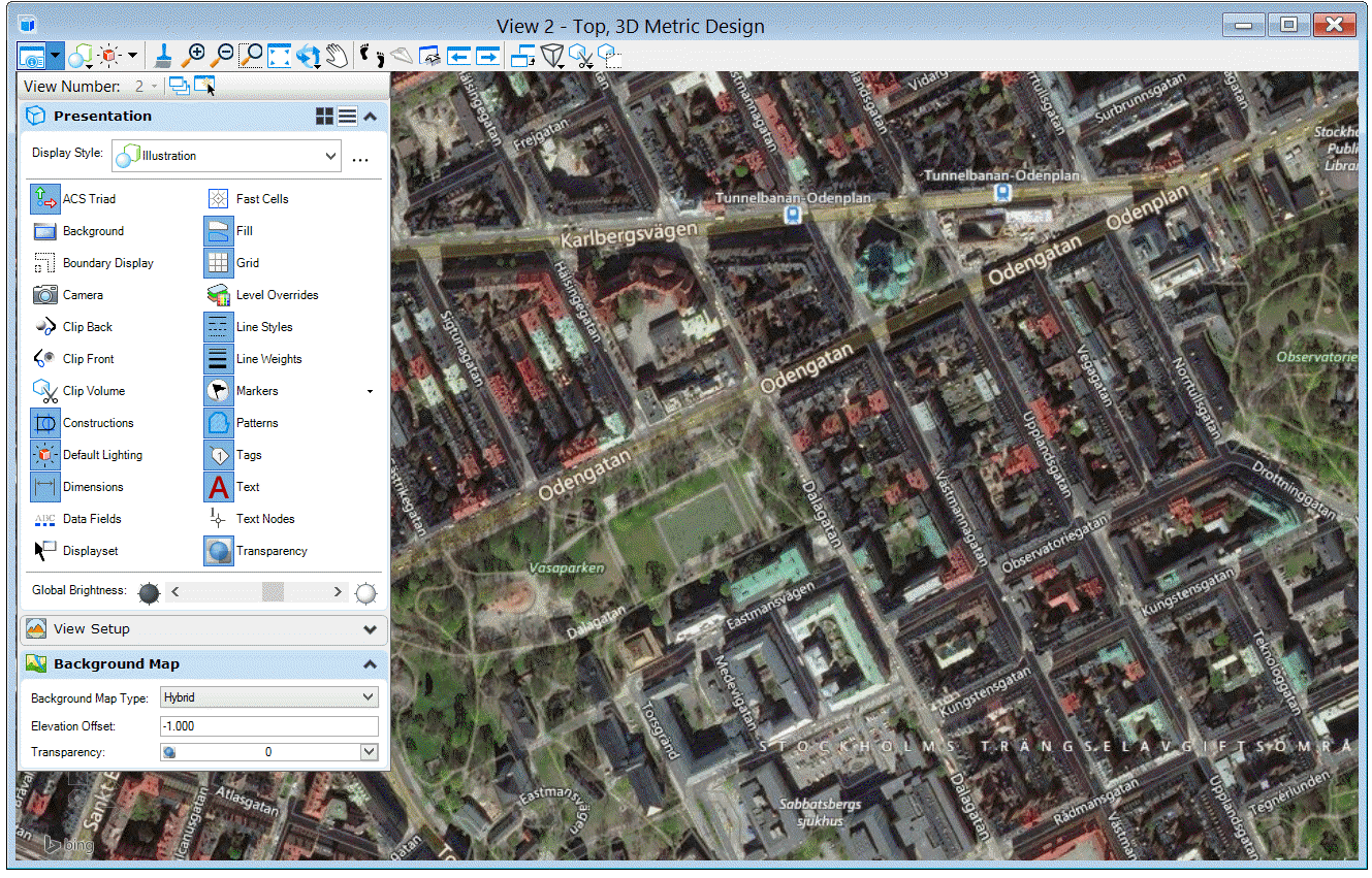
The simplified method allows a street map, aerial imagery,
or hybrid imagery (streets and street names superimposed on aerial imagery) to
be used as background for any 2D or 3D design model that has a Geographic
Coordinate System attached. You can set the background maps from the View
Attributes dialog in the
Background Map
section.
Bing Map usage is subject to Microsoft's Terms of Use. In particular, there are some restrictions on printing. For details, refer to the web page https://www.microsoft.com/en-us/maps/product/print-rights.