Polyconic
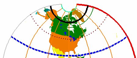
Sometimes known as the American Polyconic, it was for a long time the standard projection for large scale maps of the United States. It was developed in 1819 by F. H. Hassler, the first Superintendent of the U.S. Coast Survey and used extensively until the 1950’s. Created as a compromise between an equal-area and a conformal projection, the polyconic has low distortion along the central meridian. The Central meridian is projected as a straight line, while all other meridians are complex curves. Parallels are not concentric, they are arcs of circles. The Equator however is a straight line. In the USA, the polyconic has been replaced by the Transverse Mercator or Lambert Conformal Conic projections commonly associated with the State Plane Coordinate System.