Place Catchment
 Used to create a catchment.
Ribbon
Layout > Layout > Place Catchment
Workflow
Select Outflow - pick the node that the catchment outflows to, or Reset if this element has not been created.
Select reference surface - pick a terrain model if you want a graphic to be created in the 3D model (by draping the catchment boundary over the terrain model) or Reset if you do not want this.
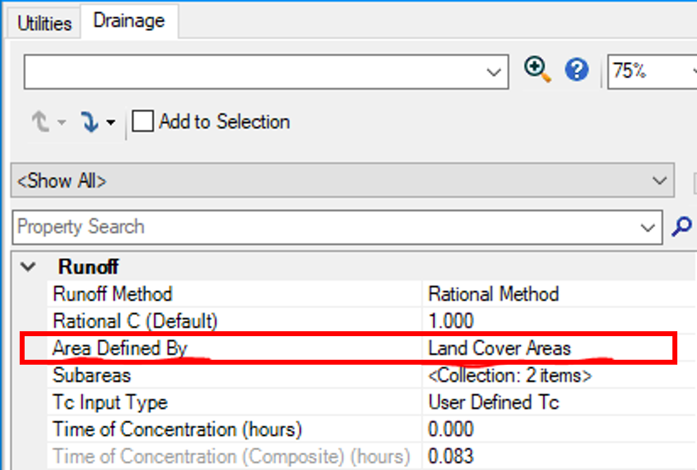
Use Scaled Area - if checked, the enclosed area of the boundary will be used. If unchecked, you can type in the area to use in the Area field.
Feature Definition - Defines the feature definition to be assigned to the new catchment.
Manipulators
Properties
Select the catchment and click Properties to access the
graphical and spatial properties of the catchment. Select the catchment and
click Utility Properties to access the hydraulic properties of the catchment.