Vertical coordinate system
Geographic and projected systems use the datum on which they are based as height reference (ellipsoidal height).
For convenience you can override the vertical coordinate system to use another reference for heights.
 Some vertical coordinate system definitions are based on geoid approximation subject to sampling and interpolation, resulting in loss of vertical accuracy.
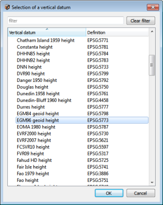
Click on Override vertical coordinate system to select a new reference for heights.
Upon confirmation of your choice, a new user defined system is created with the overridden vertical coordinate system.