Georeferenced control points or tie points (if
ContextCapture can estimate the 3D position) can be exported to a KML file; you
then can use this file to visualize the points in a standard GIS tool or in
Google Earth.
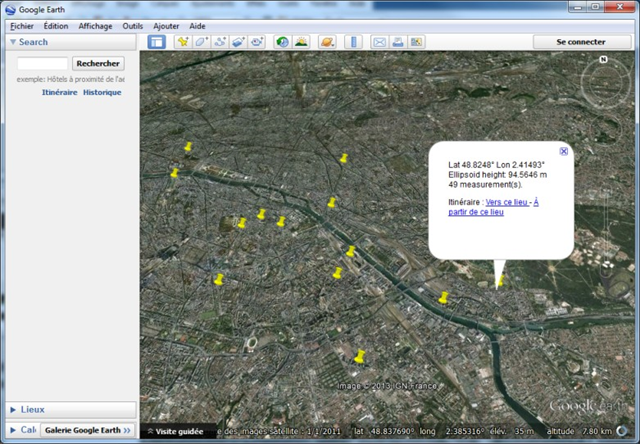
Control points KML export displayed in Google Earth